RouteDraw is a utility mobile app suitable for short trip route planning, supporting route drawing, route length/gain/loss calculation, time estimation, GPS positioning, compass, track logging, deviation alert, offline maps, and etc.
Draw your own route
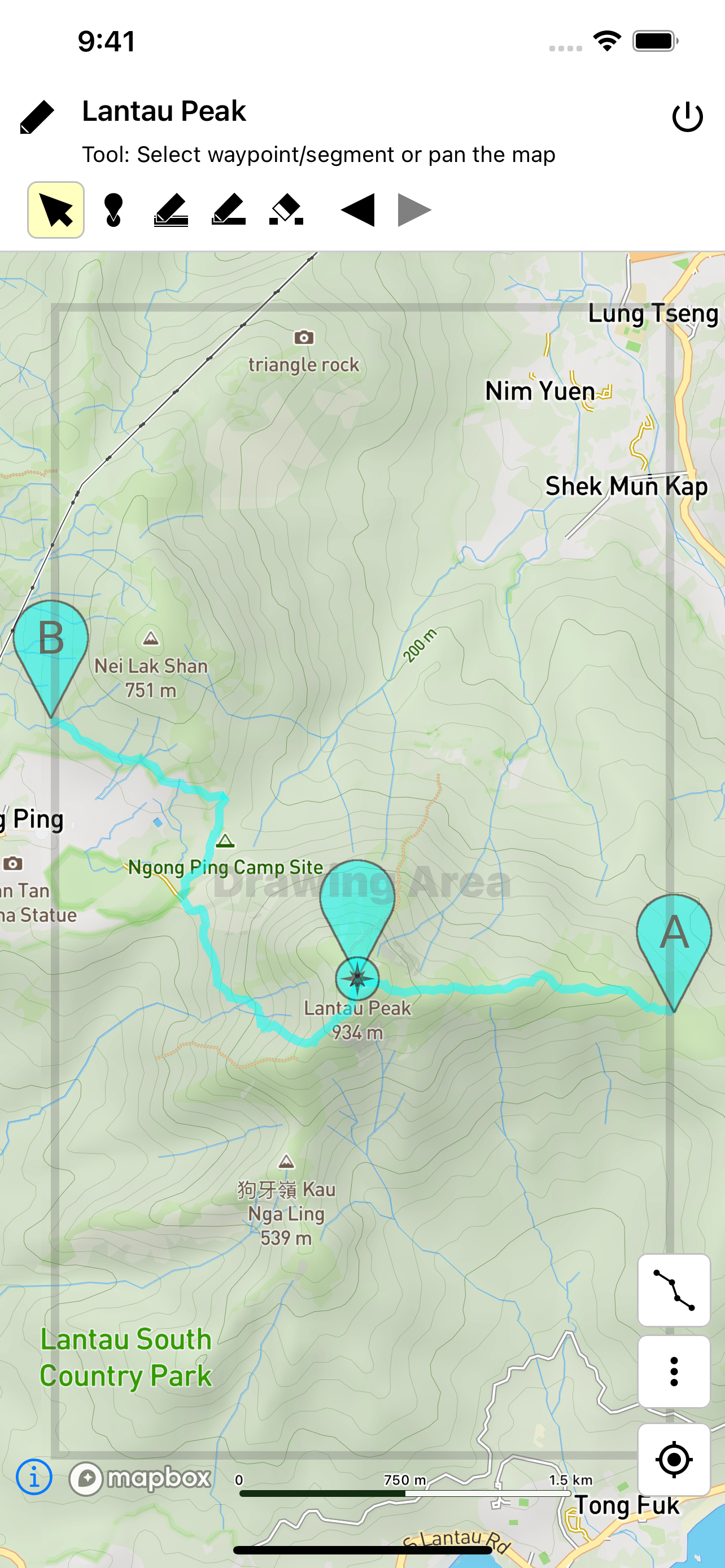
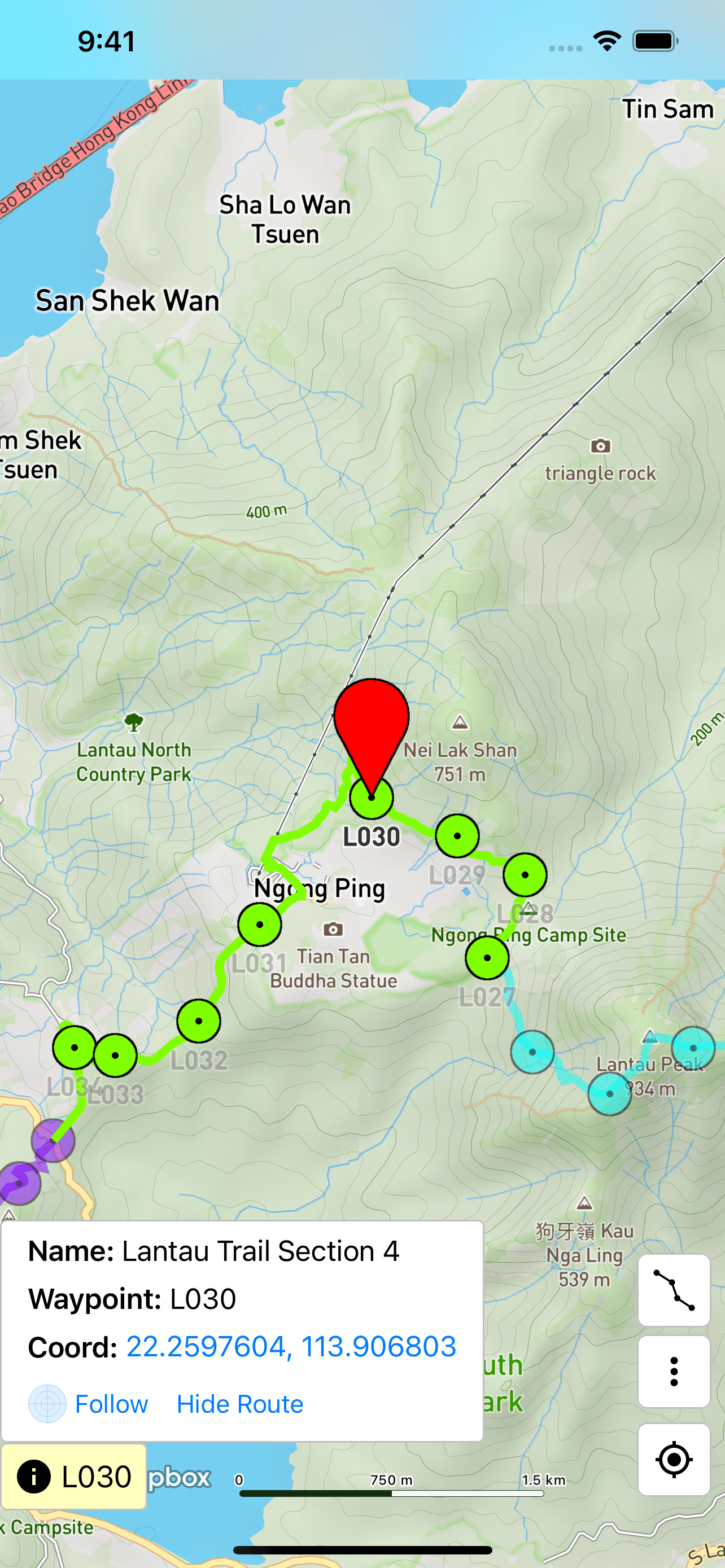
If you want to mark down the route to walk when you plan your trip, then RouteDraw should be very useful to you. Just move your finger over the map, RouteDraw will draw a route along a way for you. (1)(2)
RouteDraw lets you show several routes in the map using different colors. This helps you to compare different routes, and draw your final one.
Calculate route length, elevation gain/loss, and estimate time
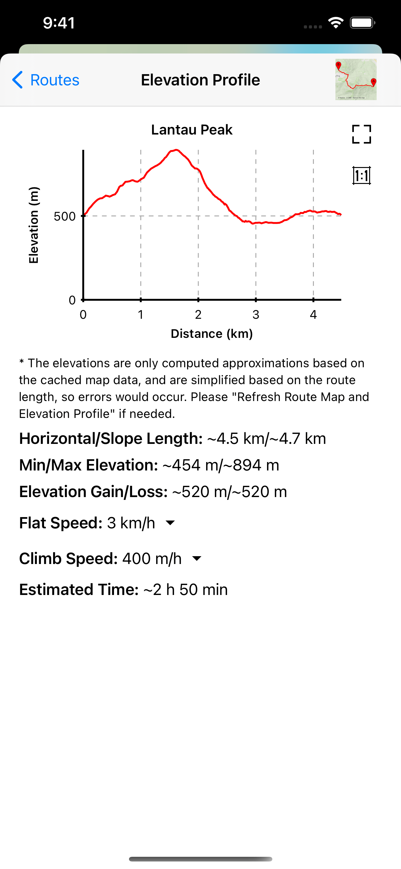
RouteDraw can calculate the length and the elevation gain/loss of your drawn route. It also lets you set your speeds to get the time estimation of your trip.
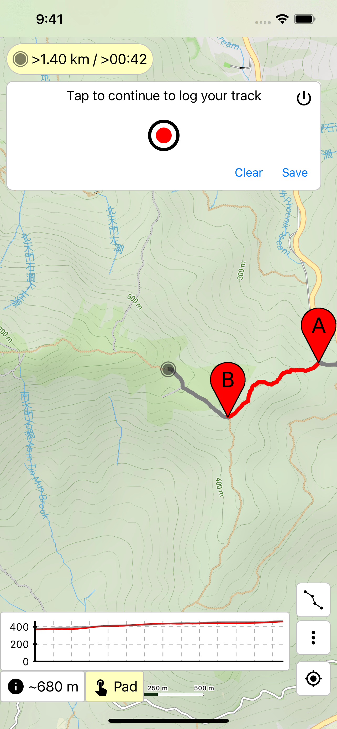
The "Track Logger" in RouteDraw will draw your track in the map automatically, which is not only useful for trip recording, but also helpful for getting back when you get lost. (3)
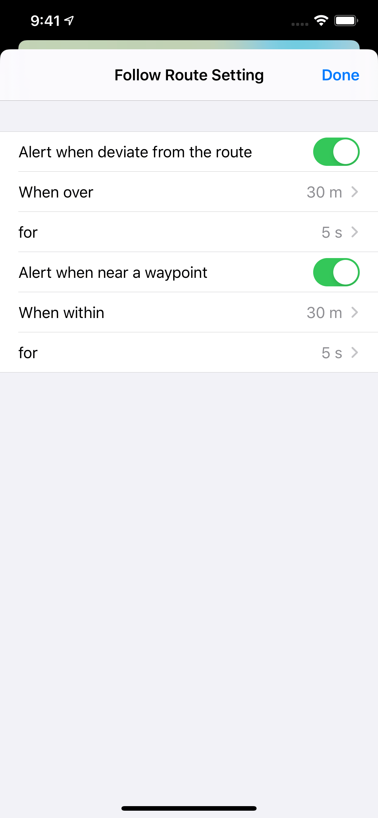
If you have prepared a route, you can open the "Follow Route" function during hiking, so that RouteDraw will alert you when you deviate from the route, or near a location. (4)